Showing posts with label 2004. Show all posts

Friday, April 20, 2012

April 20, 2004 "Surprise" Tornado Outbreak

Today is the eight year anniversary of the April 20, 2004 tornado outbreak.  It is hard to believe it has been that long.  Simply put, it remains one of the most poorly forecasted severe weather events I have ever seen.  Thankfully no lives were lost in Indiana but that was not the case in other areas.  You can view an excellent writeup on this event here

Also, be sure to check out the photo gallery, which contains several pictures from this event.


Map of Tornado Tracks

Monday, April 16, 2012

Tornado Photo Gallery - 1990 To 2005

This post covers the years from 1990 through 2005.  The final part (2006-present) will be up tomorrow.

Click each image for larger version.


June 2, 1990 - Loogootee.  Photo by Tony Dant


October 24, 2001 - near North Webster.  Photo by Ed Sloan


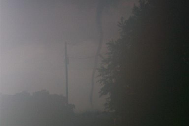
April 20, 2004 - Jamestown.  Photo by Greg Gochenour


April 20, 2004 - Jamestown.  Photo by Andrew McLendon


April 20, 2004 - Jamestown.  Photo by Andrew McLendon


April 20, 2004 - Lincolnville.  Photo by Russ Kennedy


May 30, 2004 - Indianapolis.  Photo by Chris and Becky Kuhlman


May 30, 2004 - northeast of Mooresville.  Photo by Chris and Becky Kuhlman


May 30, 2004 - northeast of Mooresville.  Photo by Chris and Becky Kuhlman


May 30, 2004 - near Little Point.  Photo by Eric Wasson


May 30, 2004 - west of Monrovia.  Photo by Brett and Rebecca Everett


May 30, 2004 - west of Monrovia.  Photo by Brett and Rebecca Everett


May 30, 2004 - west of Monrovia.  Photo by Brett and Rebecca Everett


November 6, 2005 - Evansville.  Photo by Deaconess Women's Hospital


Monday, May 30, 2011

7 Year Anniversary Of Memorial Day Weekend 2004 Tornado Outbreak

Today marks the 7 year anniversary of what was then the second biggest tornado outbreak in state history (it has since been nudged into third place by 4/19/11).  The preceding days featured a series of severe weather events across the U.S., but on May 30, it was our turn to be in the crosshairs.

Early that day, the Storm Prediction Center issued a Moderate Risk roughly along and west of I-65 with a High Risk farther west in parts of Illinois.  The High Risk was expanded in subsequent outlooks to include most of Indiana:


The event began rather early with the first tornado reported in Owen county a few minutes after 1 PM.  It was the first of 24 tornadoes which occurred in a 9 hour time span.  2 of the tornadoes - Marengo and Peru - were rated F3 with 1 fatality in Marengo. 

Here is a map of the approximate tornado tracks: